160 Springbank Road, Lewisham, c.1955 & 1966
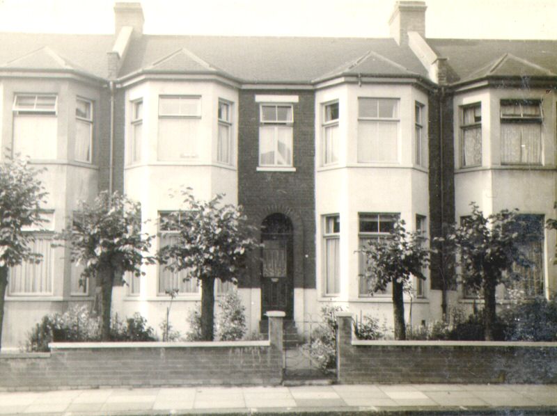

Numbers 156, 158, 160, 162 and 164 were rebuilt, together with the council owned houses opposite after WW2, probably as a result of damage caused by a V1 or V2 rocket.
Very little has changed during the eleven years separating these two photographs, other than the provision of a car parking space.
Contributed by Graham Martin.


